GEO Explained: Everything You Need to Know About Global Positioning & Mapping in 2025
Introduction
Global positioning and mapping have moved far beyond basic navigation. In 2025, GEO (Global Positioning & Mapping) powers ride-sharing apps, drones, emergency response, precision farming, and even immersive gaming. Understanding how Global Positioning & Mapping works—and where it’s headed—helps businesses, governments, and everyday users make smarter decisions.
This guide explores the foundations of Global Positioning & Mapping, its modern applications, and what the future holds for location intelligence.
Table of Contents
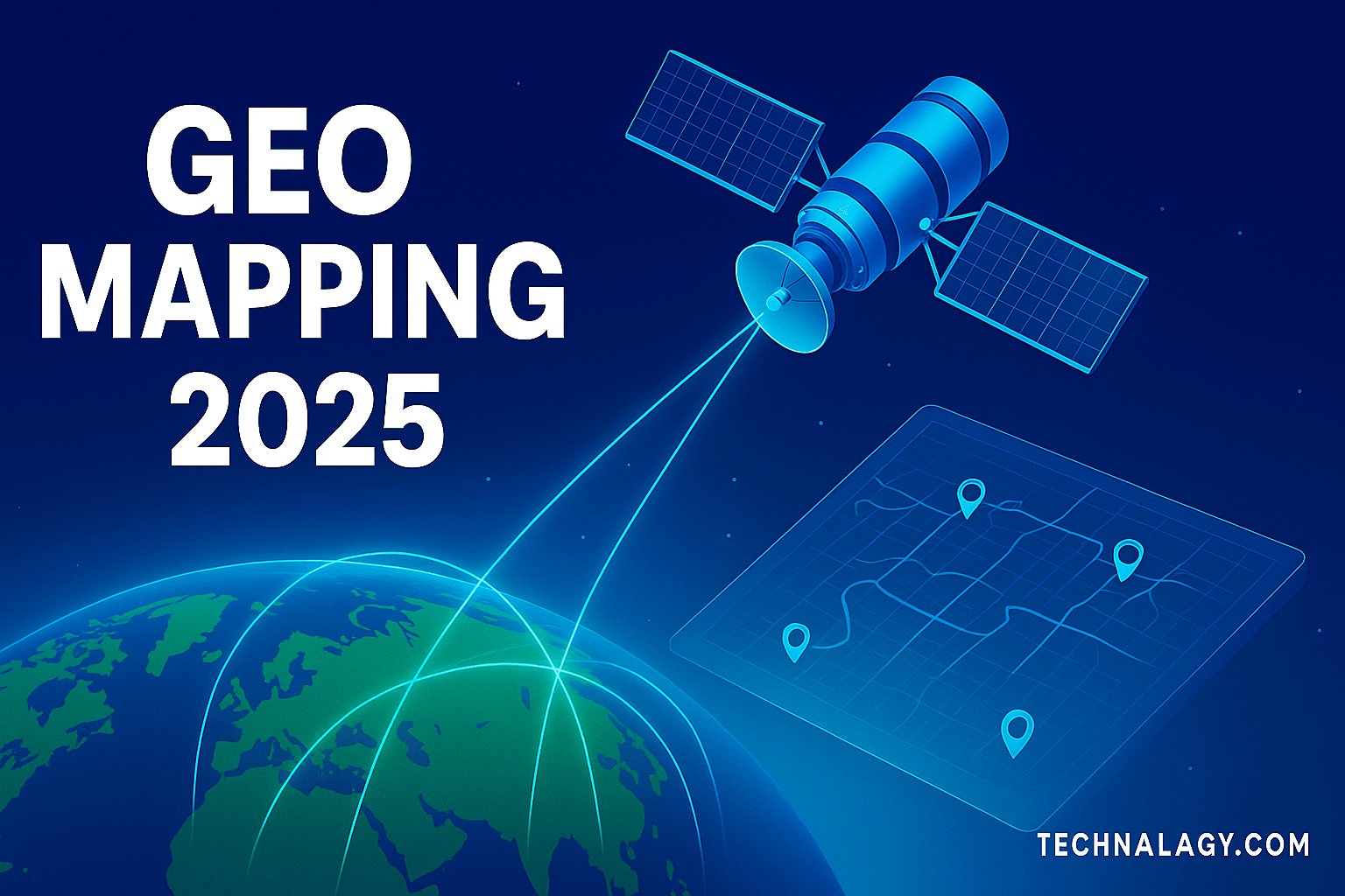
What Is GEO? A Complete Definition
GEO stands for Global Positioning and Mapping, an umbrella term for technologies that determine location and visualize Earth’s surface. Global Positioning & Mapping combines satellite constellations, mapping software, ground stations, and smart receivers to deliver accurate data anywhere on the planet.
While “GPS” (Global Positioning System) is the best-known network, Global Positioning & Mapping includes other global navigation satellite systems (GNSS) like Europe’s Galileo, China’s BeiDou, and Russia’s GLONASS. Together, they form a multi-layered infrastructure that provides reliable positioning for phones, vehicles, and industrial tools.
According to NASA’s Earth Observation program, advances in remote sensing and open geospatial data are reshaping how scientists, governments, and businesses understand our planet. These resources form the backbone of today’s Global Positioning & Mapping solutions.
How Global Positioning & Mapping Works: Core Components & Technology
Modern GEO systems rely on four essential elements:
- Satellites – Orbiting Earth in precise constellations, they broadcast timing and positioning signals.
- Ground Control Stations – Monitor satellite health and synchronize signals.
- Receivers – Embedded in smartphones, vehicles, drones, and IoT sensors, receivers calculate location using signals from multiple satellites.
- Mapping Software & Data Layers – Convert raw coordinates into usable maps, routes, and analytics.
Machine learning algorithms now refine signal accuracy, filtering out noise from weather or urban obstacles. Many mapping services incorporate 3D terrain models and real-time traffic feeds to produce reliable guidance.
Applications of GEO in 2025
Transportation & Navigation
From self-driving cars to electric scooters, transportation depends on Global Positioning & Mapping for lane-level accuracy. Aviation uses satellite-based augmentation systems for safer landings, while shipping companies optimize routes to reduce fuel costs.
Agriculture & Smart Farming
Farmers leverage GEO for precision agriculture, guiding autonomous tractors, monitoring soil health, and applying fertilizers with centimeter-level accuracy. These insights reduce waste and boost crop yields.
Emergency & Disaster Response
Rescue teams deploy drones linked to Global Positioning & Mapping to map disaster zones and locate survivors. Real-time satellite imagery assists in tracking floods, hurricanes, and wildfires.
Urban Planning & Smart Cities
Planners use geospatial data to improve public transit, reduce congestion, and manage utilities. Smart cities integrate GEO with sensors to enhance waste collection and street-light automation.
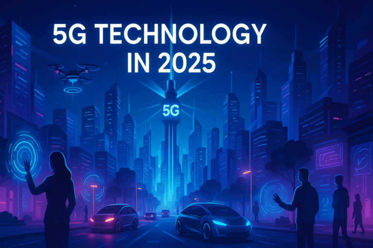
The Role of Connectivity in GEO Accuracy
High-speed networks, particularly 5G, dramatically improve Global Positioning & Mapping performance. Ultra-low latency allows receivers to process signals instantly, enabling applications like remote surgery, fleet tracking, and autonomous delivery robots.
➡️ Learn more in 5G Technology in 2025: How Ultra-Fast Connectivity Is Transforming Our World.
GEO & Spatial Computing: Bridging the Physical and Digital Worlds
Spatial computing blends digital information with real-world coordinates. Combined with Global Positioning & Mapping, it enables augmented-reality navigation, indoor mapping for malls or airports, and location-based gaming.
➡️ For deeper insight, read Spatial Computing in 2025: Trends, Use Cases, and Future Potential.
Global Positioning & Mapping in Emerging Technologies
The next generation of tech is tightly bound to Global Positioning & Mapping:
- Drones & Robotics – Precision positioning supports aerial surveys, package delivery, and industrial inspection.
- Metaverse & AR – Global Positioning & Mapping creates context for virtual overlays on physical spaces.
- Logistics Automation – Warehouses and supply chains rely on Global Positioning & Mapping for asset tracking.
➡️ See also Top 7 Emerging Tech Trends You Can’t Ignore in 2025.
Challenges and Concerns Around GEO
Privacy & Security
As location data grows more valuable, so do concerns about surveillance and misuse. Governments and companies must implement transparent policies and encryption to protect users.
Signal Reliability
Dense urban areas, storms, or malicious jamming can degrade Global Positioning & Mapping accuracy. Engineers are experimenting with hybrid solutions—combining satellite, Wi-Fi, and cellular signals—to ensure coverage.
Environmental Impact
Launching satellites adds to space debris and carbon emissions. Agencies are working on sustainable launch systems and end-of-life disposal plans for retired spacecraft.
Future of Global Positioning & Mapping: Beyond 2025
The coming years will see even faster, smarter Global Positioning & Mapping systems:
- AI-Driven Mapping – Algorithms will fuse satellite images with sensor data for near-instant Earth analytics.
- Low-Cost Satellites – Mini constellations will bring global coverage to remote regions.
- Quantum-Enhanced Positioning – Researchers aim to develop sensors immune to signal interference.
- Integration with Wearables & IoT – Global Positioning & Mapping will power fitness trackers, smart helmets, and precision industrial tools.
Conclusion
GEO is no longer a niche technology; it’s the invisible grid guiding daily life. From agriculture to autonomous vehicles, its influence is expanding across industries. By combining satellites, high-speed networks, and intelligent software, Global Positioning & Mapping is set to redefine how we navigate, analyze, and protect our planet in the years ahead.
FAQs About Global Positioning & Mapping
1. What is GEO in technology?
Global Positioning & Mapping stands for Global Positioning & Mapping, a combination of satellite networks, receivers, and mapping software that determines locations and creates accurate digital maps of Earth.
2. How does GEO differ from GPS?
GPS is one satellite navigation system, while Global Positioning & Mapping refers to the broader ecosystem of positioning and mapping technologies, including GPS, Galileo, BeiDou, GLONASS, and geographic information systems.
3. Why is GEO important in 2025?
Global Positioning & Mapping supports self-driving cars, drones, smart farming, disaster response, and augmented-reality apps. Its accuracy and speed have become essential for modern industries.
4. What role does 5G play in GEO?
5G networks reduce latency and increase data throughput, allowing Global Positioning & Mapping devices to deliver precise, real-time positioning for logistics, robotics, and connected vehicles.
5. How is GEO used in agriculture?
Farmers rely on Global Positioning & Mapping mapping for precision planting, irrigation, soil analysis, and monitoring crop health — boosting yields while cutting costs.

Kamran Khatri is the founder of technalagy.com, where he shares insights on AI, future tech, gadgets, smart homes, and the latest tech news. Passionate about making innovation simple and accessible, he writes guides, reviews, and opinions that help readers stay ahead in the digital world.